
Hence, the implementation of the GPS in agriculture has started mainly due to the easy steps in locating the preselected field positions to collect soil samples.
Once the soil samples are brought to the lab, straight proportionally it is being analyzed. The next step after the analyze process includes creating a fertility map in the geographic information system.
With the help of the fertility map the agricultural companies can prescribe the amount of fertilizers for the field that is being sampled. It is just the beginning of the precision agricultural process.
GPS role in Precision Agriculture
What does precision agriculture stands for?
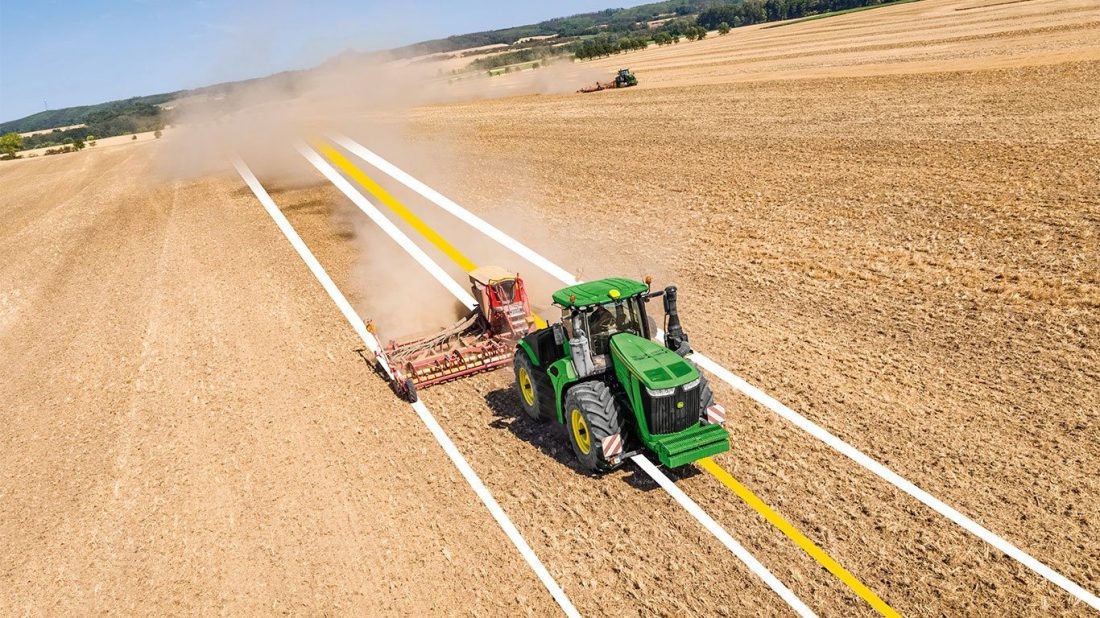
Well, to begin with doing the right things at the right time and at the right place. All these key points are essential for agricultural companies. Therefore precision agriculture can be achieved with the implementation of the GPS.
Hence, the GPS can keep agricultural companies informed about the right steps that they have to take. Taking the right steps in agriculture means using the planters, fertilizer applicators, harvesters in a proper time and at a proper place/field.