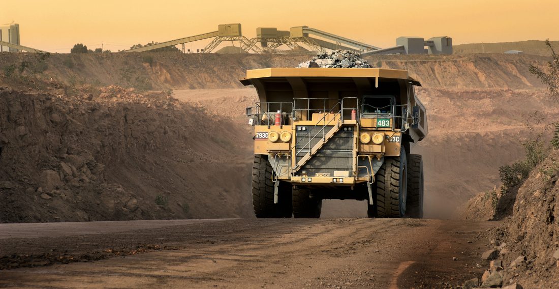
Moreover, the GPS vehicle tracking solution is becoming the best tool that mining companies can use to manage their fleet of big trucks and their equipment as well!
The fully advanced GPS features are letting mining companies to:
- Locate the precise location of their vehicles;
- Ensure safety and accountability– GPS features and benefits can help mining companies to monitor and track driver behavior and by that to increase the accountability;
- Improve the workflow;
3. Surveying
Mapping and surveying are the very first GPS features that this solution has developed.
In addition, these two GPS features are providing longitude as well as a latitude position – which indicates the measured angles and distances between two points.

Generally speaking, there are three types of surveying application characterizations of GPS features that mining companies can perform:
- Static GPS baseline– In general, the static GPS baseline feature is being used by mining companies to determine the precise coordinates for the survey point.
- Real-Time Kinematic (RTK) Observations– Real-time kinematics or also known as code-based positioning, is the most commonly used method of surveying in the mining industry. This method of surveying is using a carrier-based ranging and is providing ranges or orders of magnitude. Mining companies are using this feature when they are performing operation that requires higher accuracies- such as centimeter-level positioning;
- GPS Baseline– This feature gives mining companies the accuracy of baseline measurements. That is to say within 10km of the base station.