10 Things to Know About History of GPS

10-things-to-know-about-history-of-gps-1

The history of GPS in fact, starts long ago. Its origin, dates back to the 60s, which is over 50 years ago. Since then, it has developed a lot and its usage is vital in today’s modern society.

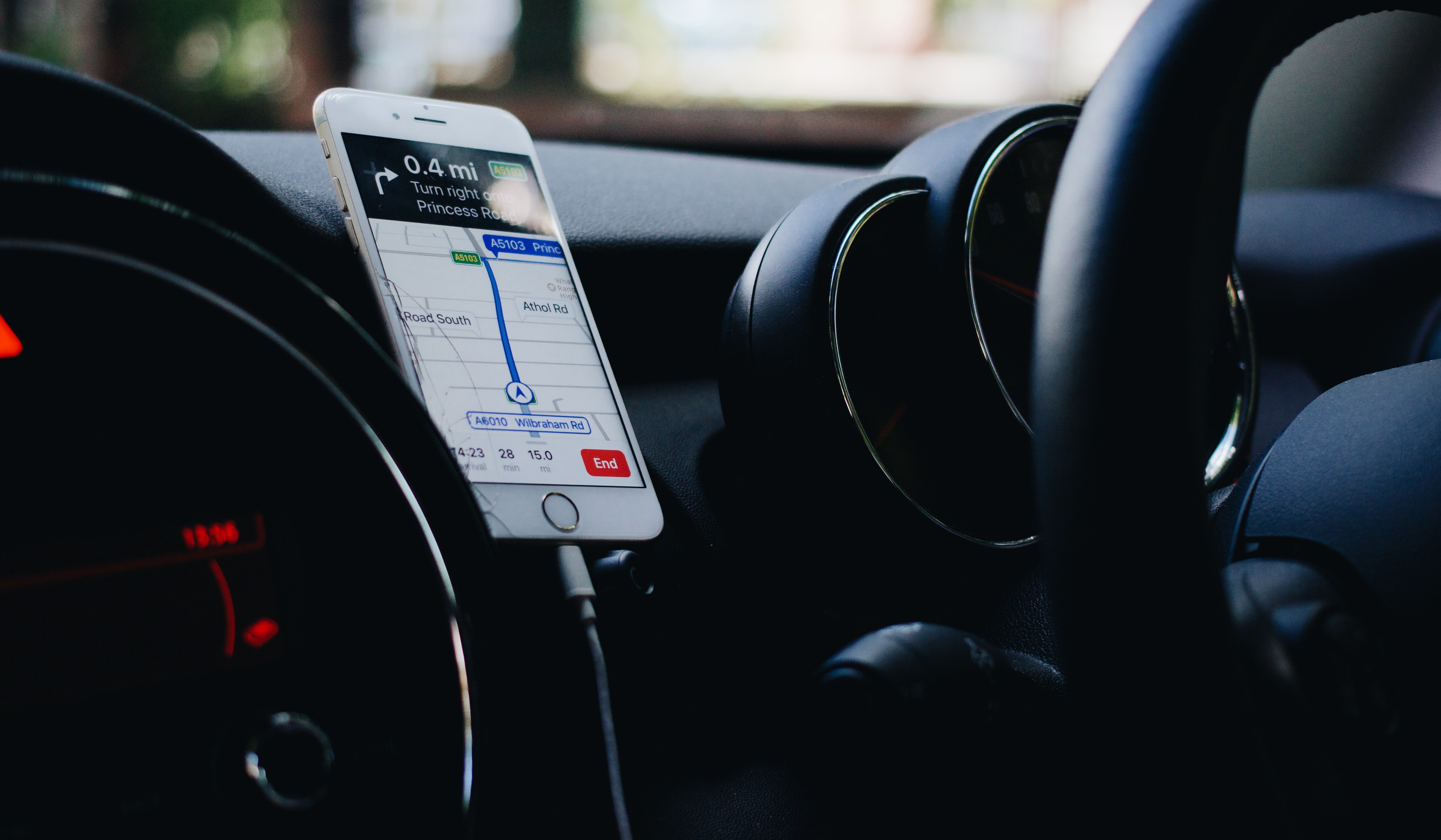
We use it to navigate while traveling long distances. Even when we travel short distances that we are not familiar with.

In this article you will get the chance to learn more about how it all started, as well as, what exactly is GPS and how it works.

Surely, you know something about it now or probably you have used it several times.

But, there are many more details about it, that perhaps very few people know.
So, let’s start!

Facts About GPS System

There are few interesting facts about the system.

  1. GPS is enabled by a network of satellites – between 24 and 32 satellites are operating at all times.
  1. These satellites are encircling our planet in geo-stationary orbit – an orbit that keeps its distance to earth equal at all time.
  1. A user device requires an unobstructed line of sight to only 4 of these satellites, so it can be able to position any place on earth correctly – regardless of weather conditions.
  1. The development of the device started in 1973, and it was designed to overcome the limitations of previous navigation systems. GPS system became fully operational in 1994, and initially had with 24 satellites.
  1. The oldest GPS satellite, which is still in operation, was launched on November 26, 1990 and became operational on December 10, 1990.
  1. In Russia, the Russian Global Navigation Satellite System (GLONASS) has been available since 2007 – previously it was for military use only.
  1. Other countries are also developing their own systems, including Europe’s own navigation system, Galileo – due to become fully operational in 2019.
  1. The uses of GPS are many and includes: Locating shipwrecks; Studying animal behavior; recovering lost pets; and geocaching (treasure hunting).
  1. GPS data has helped scientists to make more precise measurements of Mount Everest, with recent studies confirming that it is actually getting taller through tectonic movement.
  1. There are now thousands of location-based smartphone apps which use GPS. These allow you to use your location to navigate, receive personalized information, access local services or to share your location with others.
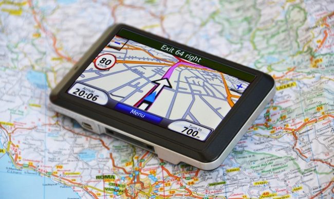
What is GPS

Global Positioning System or a GPS is a network of orbiting satellites. They are sending details to earth of how they are positioned in space.

GPS receivers are sending the signals to earth through GPS devices, also known as navigation devices. They are calculating the precise position, speed as well as the time of the location of the vehicles.

Source: www.gpsfortoday.com

Firstly, GPS was used in the military. It was developed by the United States to help the global intelligence in the peak of the Cold War.

The history of GPS dates back in 1960s, with common usage in the 1980s. Nevertheless, the GPS has been available to anyone out there that has a GPS receiver.

Today, everyone everywhere uses GPS tracking system. Starting from airline and shipping companies, to common drivers everywhere.

We all use the GPS system to track our vehicles. But, not just that! We use it to get the best route to get from point A to point B in the shortest time possible.

When Was The Idea About GPS Born

Today we all have used or at least seen how GPS works, but many of us would think it is a new invention. Is it really like that? Not really!

The history of GPS started first in 1960s, at the height of the Cold War, as an idea for military and intelligence usage.

Source: www.en.wikipedia.org

The main idea about GPS came with the launching of the spacecraft Sputnik, by the Soviet Union back in 1957. That is how the history of GPS or the global positioning system was born.

How Does GPS Work

Surely you have used a GPS before but do you know how exactly it works?
This very used tool today, that sometimes we take for granted, actually works in this somewhat easy way. But, it is not so easy to set it up.

GPS works with the help of a network of satellites that orbit the earth.  They are positioned at fixed points above the planet. Then, they beam down signals on earth to anyone that has a GPS receiver.

Source: www.nexgendesign.com

The signals sent from the satellites carry a time code as well as geographical data point. Therefore, a user, or someone with a GPS receiver, can pinpoint the precise position as well as the speed and time. And, it can be done anywhere on the earth.

The very first satellite system launched by the United States was called Transit. The satellite Transit was tested by the United States Navy in 1960.

Source: www.wordlesstech.com

You probably ask yourself, how many satellites are needed?

Well let me tell you that, only five satellites are needed for ships to determine their position at the seas. This can be done once every hour with the help of the satellites that are orbiting the planet.

However, Transit was quickly succeeded. Back in 1967, the Timation satellite demonstrated a highly accurate atomic clocks that can be operated in the space.

History of GPS shows quick development for military purposes. So, between 1978 and 1985  with a total of 11 “Block” satellites being launched, the development of GPS started.

The upgrade of the GPS was delayed by NASA. The reason was their space shuttle SS Challenger which had experienced a disaster in 1986.

Source: www.spacenews.com

Therefore, it was in 1989 that the first Block II satellites were launched. In addition, the United States launched their 24th Navstar satellite into orbit in the summer of 1993.

That completed the modern GPS constellation of satellites. Which consists of a network of 24 satellites officially known today as the Global Positioning System, or GPS.

Comments

comments

< Page 1 / 3 >